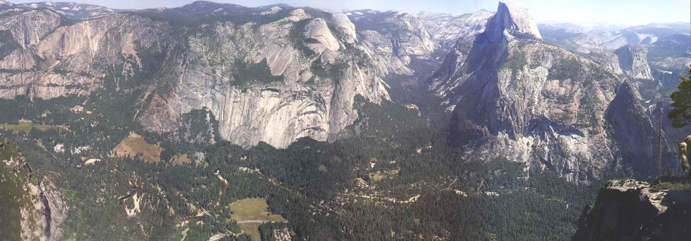

The view from Glacier Point seems like a good place to start, as it provides a panoramic view of the whole area we hiked through. As you can see the view from here is quite spectacular. I would say this is probably the best view in the whole park that can be reached by car. At an altitude of 7200' this point looks out over most of the Yosemite Village and several of the camping areas on the valley floor at about 3960'. Our hike was in the area on the right side of the view below. Half Dome is quite obviously the dominant feature of this part of the Yosemite Valley reaching an altitude of more than 8840'. From this vantage point one can readily see where the dome gets its name. Originaly a large round granite dome, glaciers passing through the valley sheared one whole side of the dome right off. The result is the distinctive shape seen here, and a drop of almost 5000' straight down to the valley floor below. Our hike began off the bottom of the picture on the floor, climbed up the two watrefalls barely visable on the right, then proceeded around the back side ond up the more rounded part of Half Dome. Clicking on the area near the waterfalls will take you to a closeup of the falls. Clicking any where else around Half Dome or the link below will take you to a picture of the dome with our hiking trail superimposed over it. From there its off to the trail!

| See a close up of the two waterfalls. | Check out the route we took up Half Dome. | Skip the map and get to the hike! |